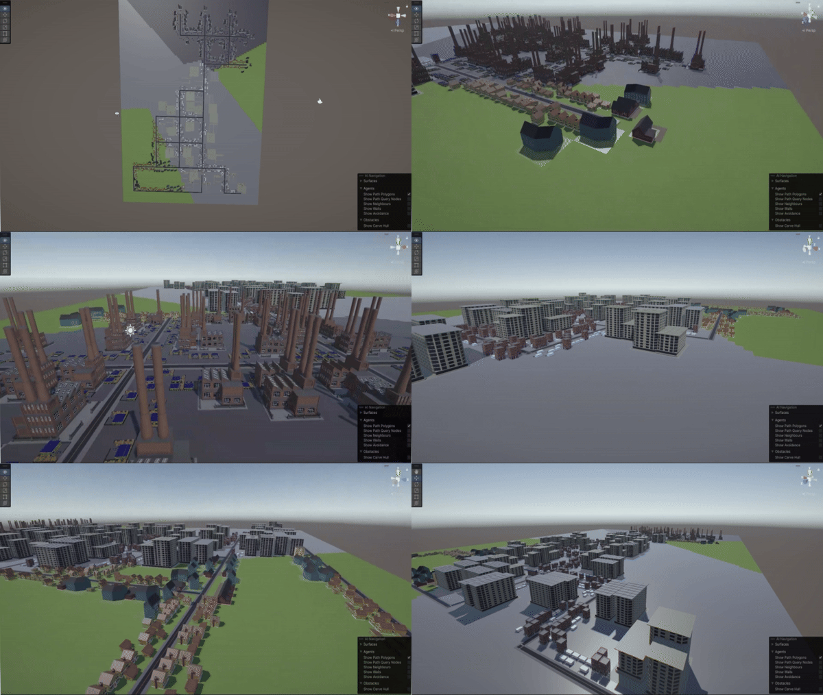
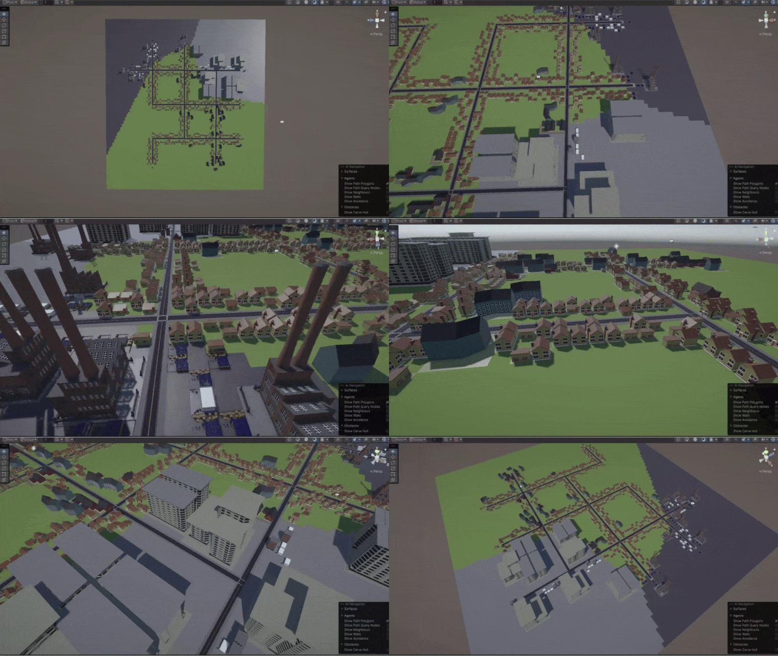
Developed a real-time simulation of a city with pedestrians, cars, roads, and multiple buildings. The goal was to create a realistic urban environment that effectively integrates motion planning algorithms to guide the autonomous navigation of entities within the simulation.
Unity and C# programming to procedurally generate the cityscape and implement pathfinding algorithms. Blender 3D was utilized to create modular 3D assets for buildings, cars, and pedestrians, which were then imported into Unity.
City Layout Generation
Developed a crawler algorithm to generate the road network, creating a varied layout with random turns. Optimized the road network by replacing overlapping roads with appropriate junctions (T-junctions and crossroads) for a more realistic layout.
Zoning and Building Placement
The road networks evolved into city blocks, incorporating various building types based on zoning logic ensuring diverse and realistic city layouts.
Divided the city grid into residential, commercial, and industrial zones using Voronoi diagrams and utilized Perlin noise to vary building density and type within each zone.
Motion Planning Integration
Implemented the A* algorithm for vehicles and pedestrians to find the shortest path between two points, enabling efficient navigation and collision avoidance.
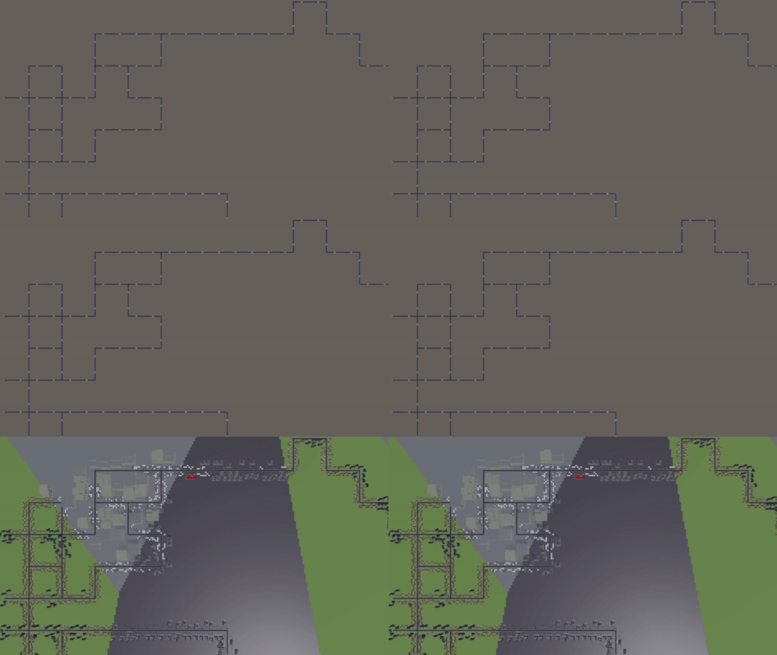

First, the road network is generated using a crawler algorithm that moves through the grid, laying down road pieces and making random turns to create a unique layout.
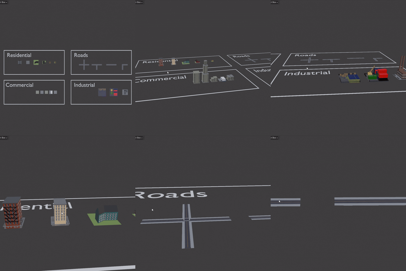
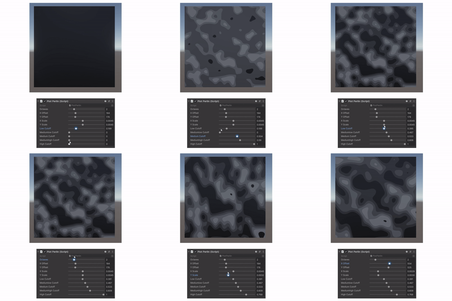
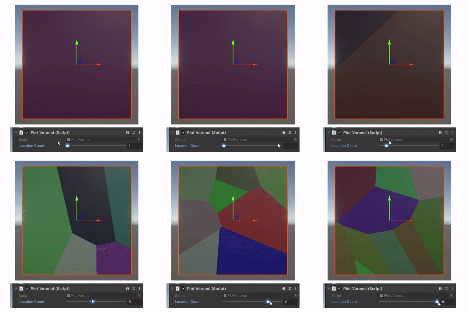
Blender 3D was used to create modular 3D designs, such as residential, commercial, and industrial buildings. These designs were then imported to Unity, where the cityscape was generated.
Perlin Noise: Used to vary the density and type of buildings within each zone. For example, areas with higher noise values might have larger buildings
Voronoi Diagrams: The city grid is divided into zones (residential, commercial, industrial) using Voronoi diagrams, with each zone having a designated type of building.
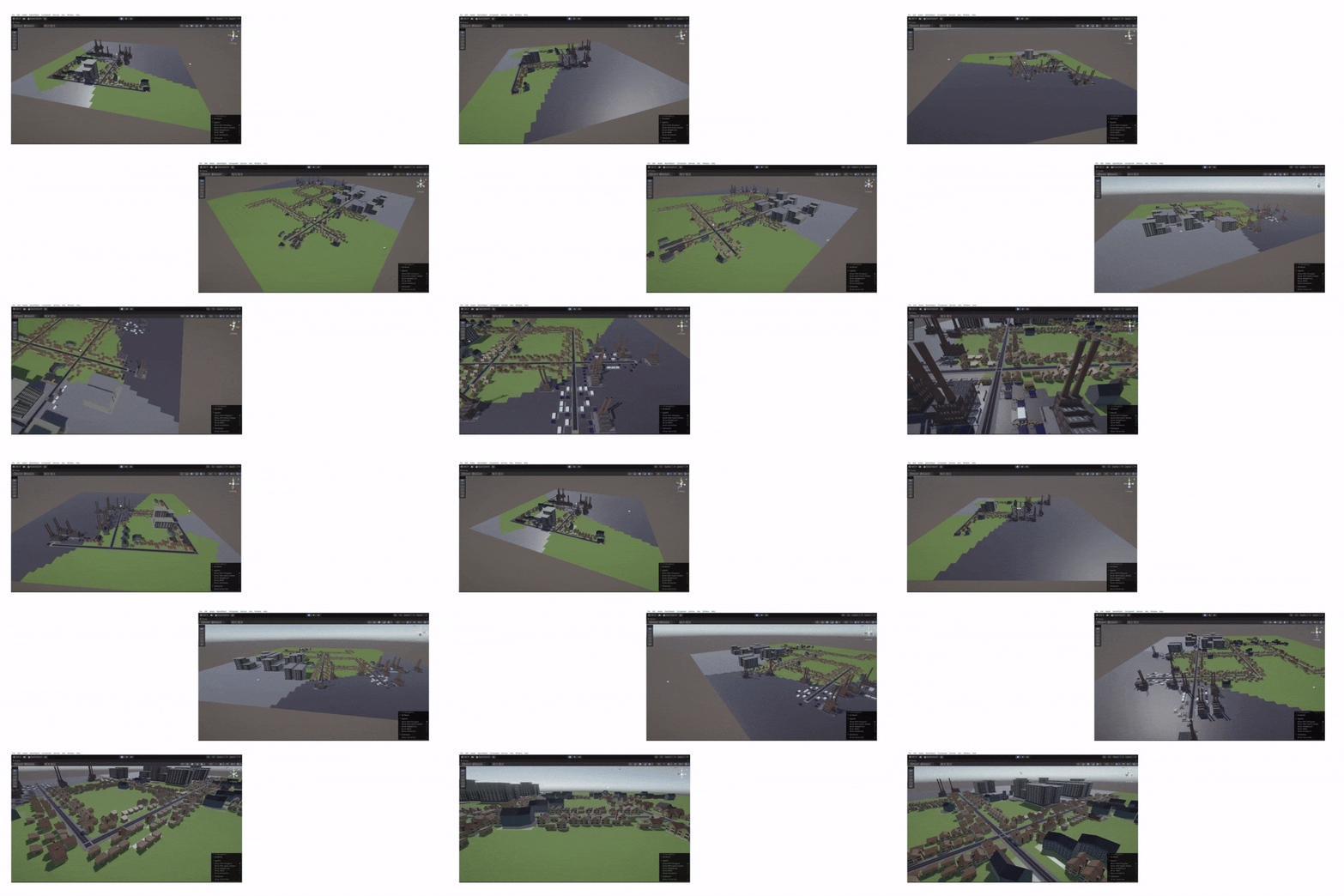
Buildings are placed based on zone type and density, determined using Voronoi diagrams and Perlin noise.
The three zones are residential, commercial, and industrial along with the final road layout.
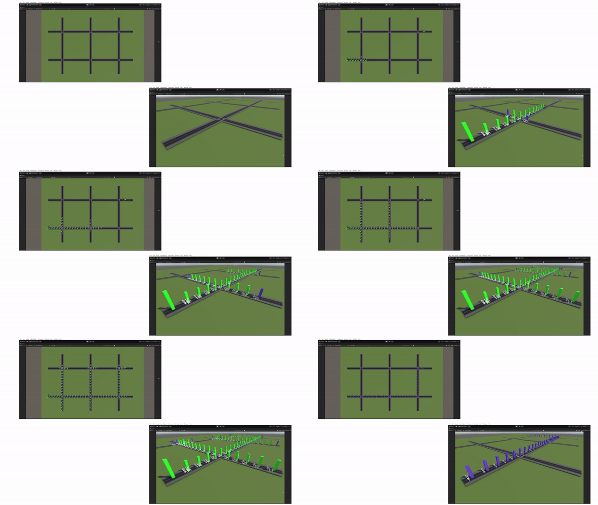
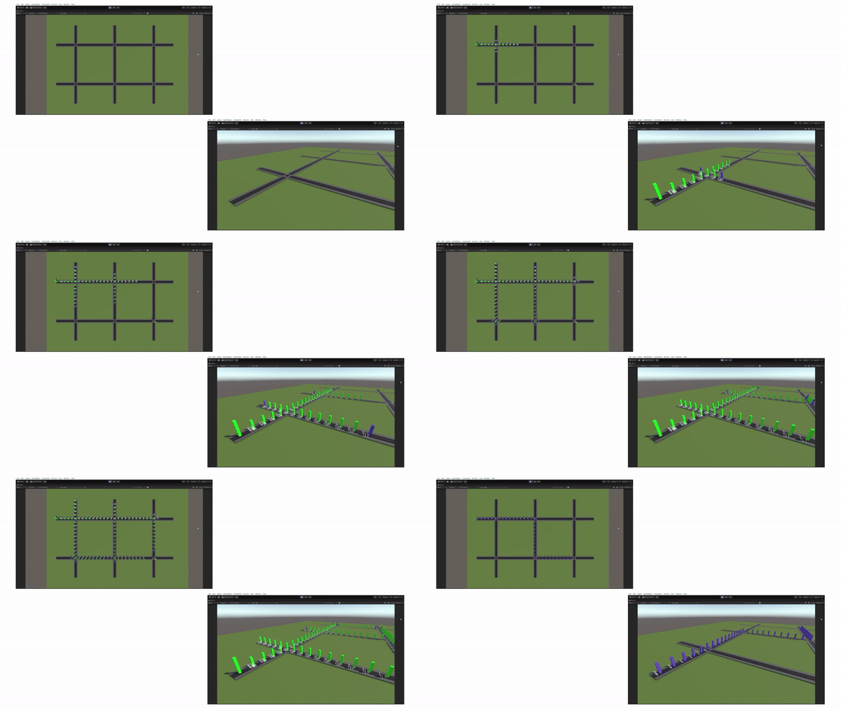
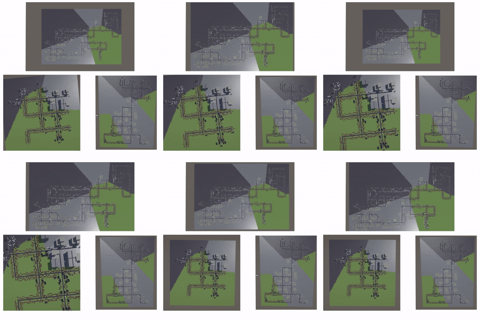
The top and side views of the path markers represent the A* path solving and the Bactracked/final path.
The A* algorithm is used for both vehicles and pedestrians to find the shortest path between two points in the city, ensuring that each finds the most efficient route.
The traffic system at an intersection shows both cars and pedestrians.
The city is built upon a huge graph network for both roads and pedestrians. With this graph and the A* algorithm entities can navigate through the city and also avoid any form of collision until they reach their destination.
A condition is also taken into consideration that when pedestrians cross the road all the vehicles on the four sides wait for the cross and all the vehicles start moving one by one. The integration of collision avoidance protocols ensures smooth and safe movement, avoiding congestion and conflicts.